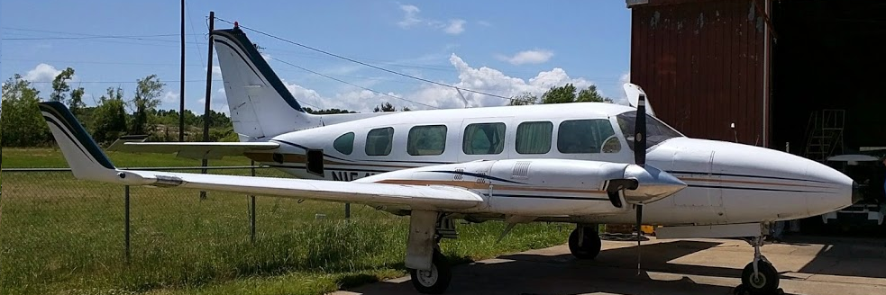
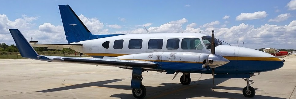
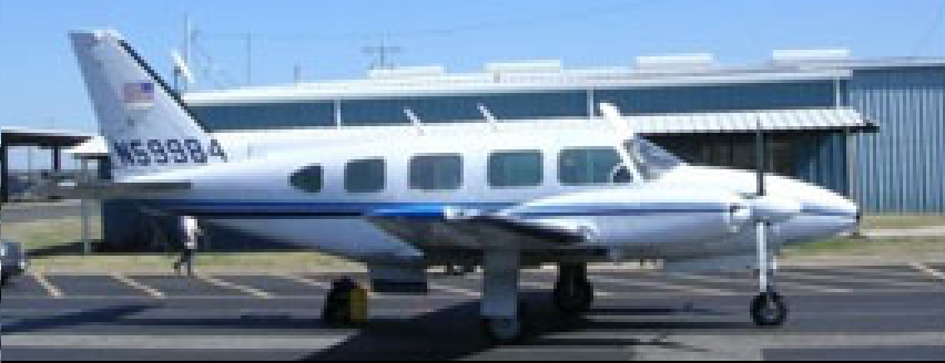
- Cabin class multiengine
- Turbocharged 325 hp engines
- 240 mph (208 kts)
- 1100 miles range
|
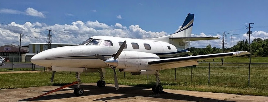
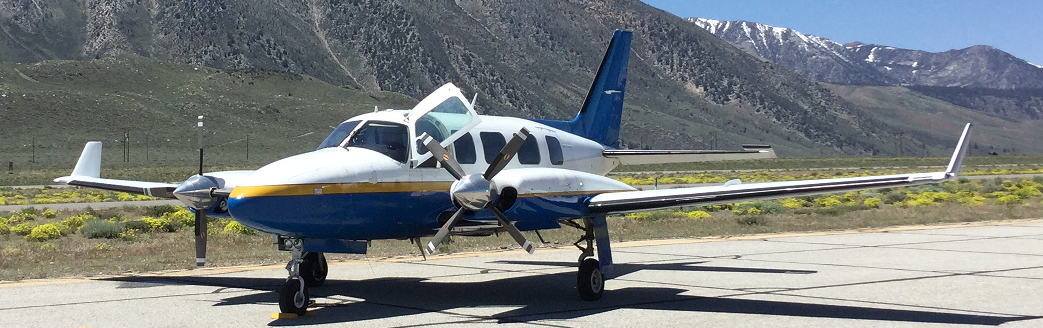
- Pressurized, cabin class, multiengine
- 900hp Turbine engines
- 309 mph (265kts)
- 2300 mile range
|
One type aircraft does not work for all applications. Therefore, MARC has standardized on two types of aircraft to meet your needs and your budget. The determination of the appropriate aircraft for your data acquisition project involves performance and budget. We can provide you with an aircraft and pilot for your own sensor, or, a complete data acquisition platform that includes the aircraft, pilot, system operator and appropriate sensors. Our relational partners provide analytical photogrammetry, GIS data conversion, and digital orthophotography.
For low, mid level altitudes, and LiDAR remote sensing, our Navajos provide an economical platform for multispectral and hyperspectral data acquisition. The Navajo Chieftain's load carrying capability allows transport of personnel and equipment at 230mph over distances of 800NM. The mission for our Navajo Chieftains routinely includes aerial photography, geophysical survey, aerial mapping, surveillance, power line and pipeline engineering survey/surveillance.
For higher altitude requirements above 15,000 feet, our turbine powered, pressurized and air-conditioned MERLIN III provides our clients an extremely safe and stable platform for large format digital cameras. This aircraft can travel 2000 nautical miles at speeds over 300 miles per hour. Each aircraft is equipped with the latest digital avionics including rapid refresh GPS sensors.
|
- 20 years of GIS acquisition experience
- Largest fleet of specialized aircraft in North America
- Navajo Chieftain and Merlin III aircraft
- LiDAR, Imagery and IR acquisition
- Rapid Response
- Flexibility
- Seasoned GIS flight crews
- World-wide Operations
- Committed to excellence employees

We have experience installing and operating the following sensors:
- Optech Orion LiDAR
- Optech Gemini LiDAR
- Optech 3100 LiDAR
- Vexell Large Format Digital Camera
- InfraRed Scanners
|